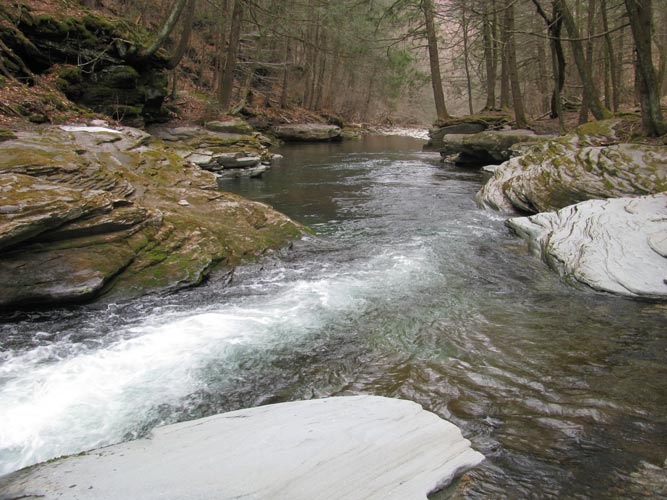
Pristine mountain water.
Questions We Can Answer
- Will a proposed development adversely impact the quality of my stream, pond, or wetland, or well water?
- My neighbor has altered the water flow on my property, what should I do?
- What can I do about runoff onto my property from farm animals?
- Will logging near me adversely impact my pond or wetland?
- My town periodically floods, what can be done to lessen flooding impacts, including Trenchless Technology alternatives?
- My town has backed an environmentally destructive "remedial" measure along my stream. What can be done to protect the fishery, aesthetic quality, and my land value?
- Should I purchase wet-looking land?
- Where is the best place on my property to construct a pond?
- What is the watershed draining to our Town well field?
Services Include
- Field Data Collection
- Environmental Impact Review
- Hydrologic Assessments
- Surface Water Protection
- Watershed Delineation
- Flood Impact Analysis
- Flood Return Analysis
- Flood Hazard Zones
- River & Stream Morphology Characterization
- Wetland Hydrology
- Bathymetric Map Development
- Professional GIS Map Construction
- Water Quality Testing
- Contaminant Assessment
- Litigation Support
Example Work Project
In 2017, HydroQuest completed a project titled:
Hydrogeologic Study of the Town of Mamakating, Sullivan County, New York. The report documents groundwater and surface water resources throughout the town. Analysis included extensive field work, watershed and sub-basin delineation using high resolution imagery and digital elevation data, and GIS-based map production. The report includes numerous land use recommendations and formed the backbone of the Town.s development of a Comprehensive Plan. Commissioned by the Town of Mamakating; 36 pages plus 32 detailed GIS maps and figures.
Other Work Projects Include:
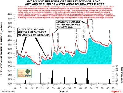
Wetland Hydrologic Fluxes
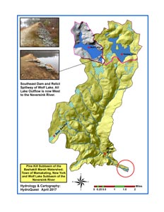
Pine Kill Sub-basin
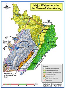
Mamakating Watersheds
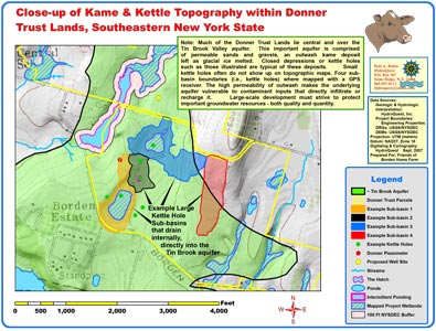
Hydrology of a Glaciated Terrain
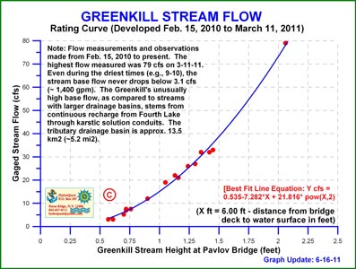
Greenkill Rating Curve
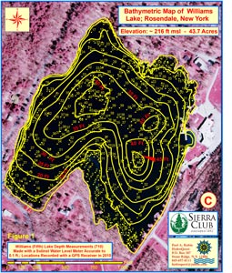
Bathymetric Map Construction

